Appalachian Trail/long Trail
Vermont
Free — you'll pick up right here.
29.1 mi
Distance
6,939 ft
Gain
No verdict for this trail
We won't guess. Here is exactly what we do and don't know.
What we do know
Inside Appalachian National Scenic Trail
3 managing-area boundaries mapped — agency alerts for them feed this page automatically.
Boundary data
What's missing
No access route mapped
We don't yet know which road reaches this trailhead, so we can't tell you if it's gated.
Nobody's filed a report here yet — be the first.
Why you'll love it
Here's your day, mapped
Appalachian Trail/long Trail
Suggested plan · check conditions before you go
Meals
Gear for the day
Elevation & route
- Distance
- 29.1 mi
- Elevation gain
- 6,939 ft
- Highest point
- 3,390 ft
- Lowest point
- 629 ft
Photos
Directions & GPX
Permits & access
- Managing agency
- Forest Service
About this trail
The Appalachian Trail/Long Trail is a 29.09-mile point-to-point hike in Vermont with 6,939 feet of elevation gain. The route reaches a maximum elevation of 3,390 feet and is managed by the Forest Service.
Facts about this trail
The climb
- High point
- 3,390 ft
- Total climbing
- 6,939 ft
- Length
- 29 mi
- Shape
- Point to point
Source: Roamze elevation profile and trail geometry (DEM samples along the mapped route)
Where it is
- Manchester Ranger District · Ranger district
- Appalachian National Scenic Trail · National Park Service
- Green Mountain and Finger Lakes National Forests · National forest
- Managed by
- Forest Service
Source: USFS EDW boundaries; NPS Land Resources boundaries; USGS PAD-US 4.1
Conditions
Active alerts for Appalachian National Scenic Trail as of Oct 9, 2026:
Black Bears Frequenting the McAfee Knob Area in Virginia
Caution · posted Aug 24, 2026
List of trail closures post-Hurricane Helene
Park Closure · posted Aug 24, 2026
Source: NPS Alerts API
Nearby
- Old Seth Warner Shelter SiteCamping0.9 mi
- Seth Warner ShelterCamping1.2 mi
- The Dome (Pownal)Hiking2.3 mi
- East Dome TrailHiking2.7 mi
- AgawonHiking3 mi
- North Branch Hoosic RiverCanoeing4 mi
- Clark CragRock climbing7.3 mi
- Monroe State ForestRock climbing8.1 mi
Source: Roamze catalog (indexable pages within 10 miles, PostGIS distance)
Add to a trip & share
Keep exploring — more trails worth the drive
 Photo: }{enry, CC BY 2.0 (via Flickr)
Vermont Line Trail
~6 min drive
0.96-mile out-and-back trail in Massachusetts with 154 ft elevation gain.
 Photo: Dougtone, CC BY-SA 2.0 (via Wikimedia Commons)
Legal Trail 7
~13 min drive
4.22-mile out-and-back trail in Vermont with 1,025 ft elevation gain
Broad Brook
~6 min drive
A 6.45-mile out-and-back trail in Vermont that connects to the Agawan Trail system, perfect for hikers looking to explore the region's backcountry.
Sucker Pond
~6 min drive
9.02-mile out-and-back trail in Vermont with 373 ft elevation gain.
Photo: }{enry, CC BY 2.0 (via Flickr)Shoreline Trail
~7 min drive
0.43-mile out-and-back hike in Massachusetts with 206 ft of elevation gain.
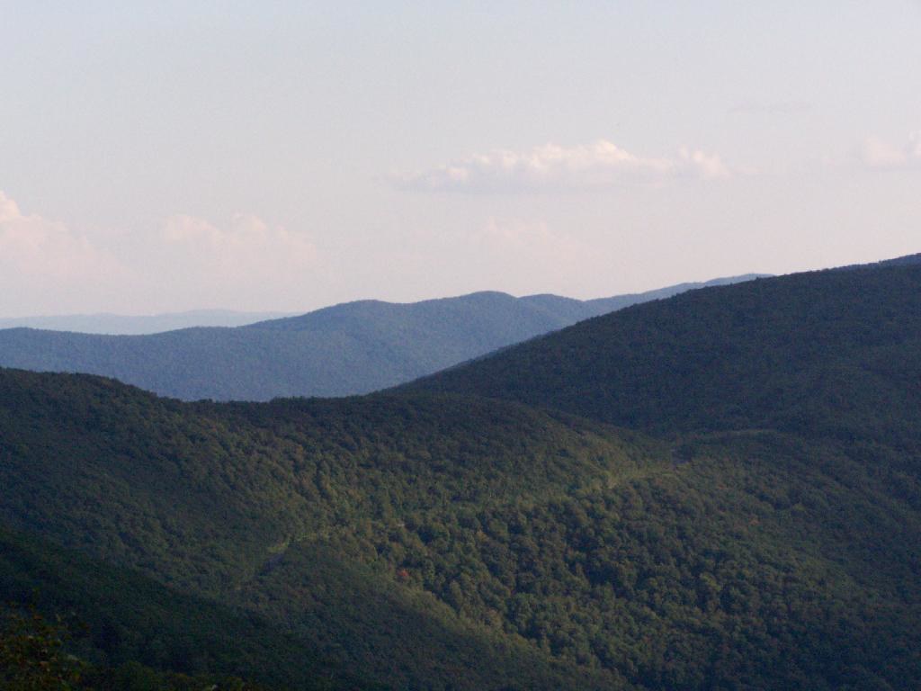 Photo: andyarthur, CC BY 2.0 (via Flickr)
Birch Brook Trail
~14 min drive
2.84-mile out-and-back trail in New York with 1,225 ft of elevation gain
Photo: }{enry, CC BY 2.0 (via Flickr)Pond Loop Trail
~7 min drive
2.07-mile out-and-back pond trail in Massachusetts with 381 ft gain.
 Photo: Magicpiano, CC BY-SA 4.0 (via Wikimedia Commons)
Appalachian Trail - Massachusetts
~11 min drive
5.60-mile point-to-point trail in Vermont with 1,869 ft elevation gain.
 Photo: JFGryphon, Public Domain Dedication (CC0) (via Flickr)
Hoosic River Trail
~11 min drive
2.76-mile out-and-back hike along the Hoosic River in Massachusetts with 900 ft gain.
The Dome (Pownal)
~4 min drive
An expert-level 4.60-mile out-and-back singletrack trail in Pownal, Vermont for experienced hikers.
